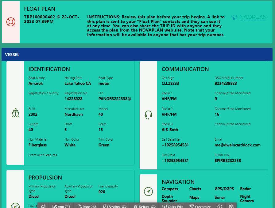
Vessel Identification
Search and rescue teams must sometimes distinguish your vessel from others so we document clear information identifying a vessel. Some fields in the report are name, hailing port, identification numbers, hull material, color, trim color, dimensions, manufacturer and model.
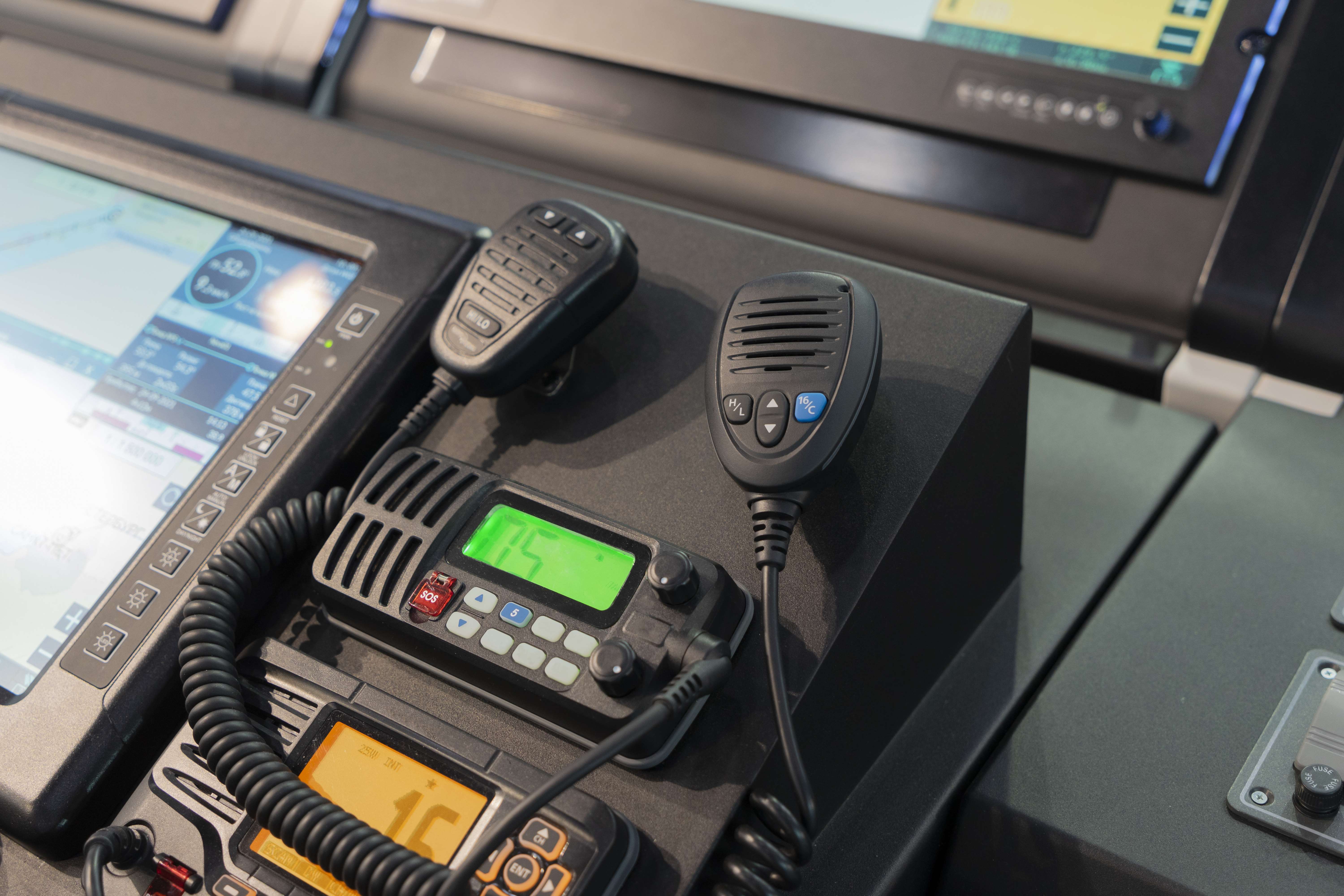
Communication Equipment
Knowing what communication equipment is onboard and the method of use also helps searchers. Fields may include call sign, MMSI number, radios onboard, AIS onboard and EPIRB numbers.

Propulsion
While knowing whether a vessel is powered by wind or motor is important, additional information such as average speed, fuel availability and consumption and known last location are used with tracking data to target the vessel's location and narrow potential search fields.

Navigation
With modern navigation tools it is rare that a vessel gets lost at sea. However, an incident resulting in a total loss of power (such as a lightning strike) could render navigation and emergency communication tools (EPIRB) unusable. It helps search and rescue teams to know what tools are onboard.
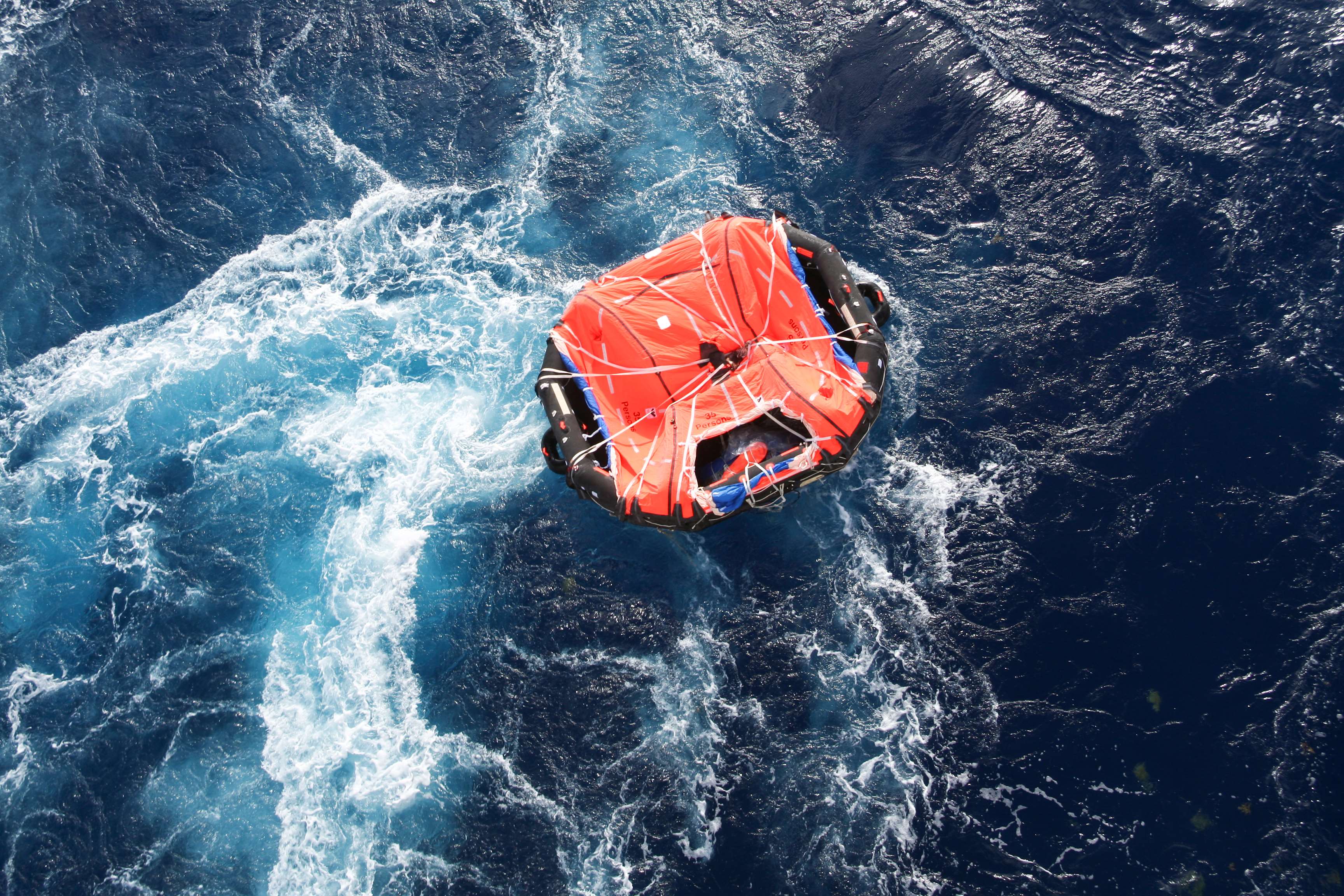
Safety & Survival
Should an unfortunate event occur the safety and survival equipment onboard is critical. It helps to document and identify information on equipment available, distress signals to look for (audible and visual) and the available food water to keep the crew healthy.

Crew & Guests
An accounting of the captain and crew is critical and helps support teams to know what resources may be needed to provide assistance once arriving at the crews location.
Passage
Information is included on the port and country of departure, port and country targeted for arrival, planned and actual departure and arrival times.
Planned Route
Data incorporated in the original, and updated, GPX route files are stored in NAVOPLAN and included to show planned waypoints and anticipated arrival times.

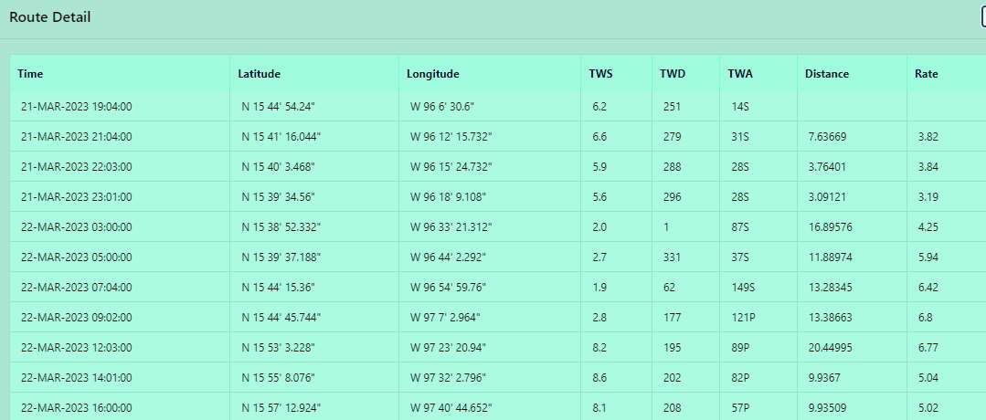
Actual Track
Using one of several approaches, the NAVOPLAN system is constantly gathering geolocation (time, latitude, longitude) data to compare actual passage progress with most recent planned. Information may include latitude, longitude, local time, rate of movement, distance from last waypoint, wind speed and wind direction. This information is critical for a search team as it helps pinpoint the vessels last known location.